Drone Video Services:
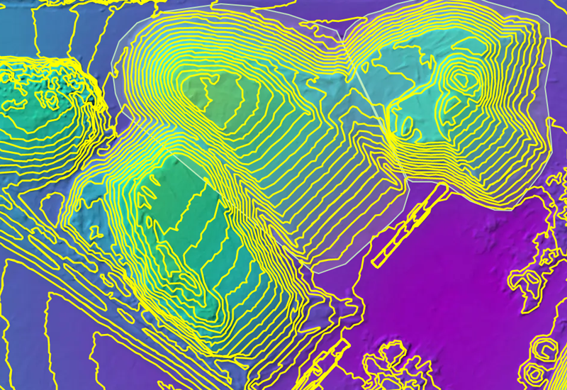
Site Survey And Stockpile MeasurementsDrone Video Services: Elevating Precision and Efficiency
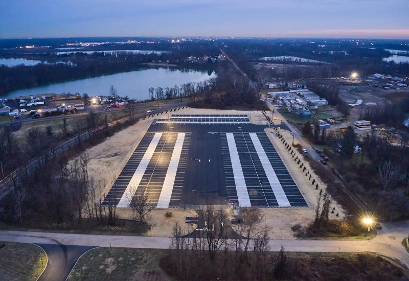
Unlock the full potential of your projects with our cutting-edge drone video services. Our advanced aerial technology provides accurate, high-resolution visuals for a wide range of applications, helping you make smarter decisions with unparalleled ease and efficiency. Whether you're in agriculture, construction, or land management, our drone services are tailored to meet your unique needs.


Why Choose Our Drone Services?
Our team combines state-of-the-art drone technology with expert analysis to deliver fast, reliable, and actionable data. Whether you're monitoring large-scale projects or fine-tuning agricultural practices, our services save time, reduce costs, and maximize efficiency.
Let’s Take Your Vision to New Heights
At Ballista, we’re committed to delivering the highest-quality aerial solutions tailored to your industry. Our drones are equipped with cutting-edge cameras and sensors, ensuring every survey, map, and analysis is precise and actionable. With years of experience and a deep understanding of diverse industries, we’re your trusted partner in leveraging drone technology to enhance productivity and achieve your goals.
Ready to elevate your projects with precision aerial insights? Contact us today to learn more about how our drone video services can revolutionize your operations.